


As the death toll continues to climb and questions persist about whether there were adequate warnings of catastrophic flooding in Texas on July 4, pilot flooding emergency warning systems have been deployed in two flood-prone counties in western Virginia.
Buchanan County, which is mountainous and has had three major flooding events over four years, and Botetourt County, which has dealt with flash flooding, were chosen for the projects.
Each received advanced flood intelligence technology that will give them more information in real time and provide early warnings to local officials that those working on the projects say could save lives and protect property.
The systems use sensors, rain gauges, predictive modeling, historical rainfall data and alerts to not only let county officials know whether flooding is likely, but where it could be happening down to a community, a street or neighborhood, and even a single home or building.
It can help them determine whether, or when, alerts need to go out to warn the public, which the emergency directors for both counties say is a “tricky” call that doesn’t always work because flash flooding happens within minutes in both localities.
But both also praised the systems because they provide information and detail they’ve never had before, and in the case of the Buchanan County project, also will help local leaders take steps aimed at mitigating future flooding.
No one solution works for every community, which is one of the reasons for pilot projects, according to Betsy Hnath, deputy executive director for RISE. The nonprofit based in Norfolk helps communities dealing with the growing threats of flooding, sea-level rise and climate change build resilience.
The projects involve partnerships and collaboration, beginning with RISE and the Virginia Department of Housing and Community Development, which provides the funding.
RISE lets communities try new solutions at no cost, using public investment to help even under-resourced areas build resilience, Hnath said.
RISE holds competitions aimed at startup tech companies that are challenged to come up with innovative plans to solve some of the problems caused by flooding. Around five winners are chosen, and they receive as much as $300,000 each to create a demonstration pilot, working with the planning district commissions in the area to zero in on a locality that needs help.
Since its founding in 2017, RISE has held 12 challenges, 10 of which focused on the state’s rural, coastal communities. In 2023, the state housing department suggested it turn its attention to flooding in the mountainous areas in the western part of the state, according to Paul Robinson, executive director of RISE.
That was the focus for the 2024 and 2025 challenges, and future competitions will expand to localities near Buchanan and Botetourt counties.
The help comes as the number and intensity of storms resulting in flooding and other extreme weather events increase across the nation, where there were four major flooding events between July 4-8 in Texas, North Carolina, Illinois and New Mexico.
The Fourth of July storm that hit the hill country of Texas, particularly Kerrville, killed more than 130, including more than two dozen girls from a nearby summer camp. Two weeks later, the search for the nearly 100 who are still missing continues, as does the scrutiny about whether there were warnings to local residents and why efforts by Kerrville officials to get money for a warning system were repeatedly denied. 
A new source of data in a flood-prone county
Buchanan County, which shares a border with Kentucky and West Virginia, has had more than its share of disastrous flooding.
Most recently, it and other counties in Southwest Virginia were slammed by storms over the weekend of Feb. 15-16, after days of rain. Some counties received as much as 7 inches.
Flash flooding washed out roads and bridges and caused rockslides and mudslides. Major damage was done to 90 homes, and 18 were destroyed.
For the second time in nearly four years, the small community of Hurley sustained the most damage. In August 2021, a storm had hit the Guesses Fork area of Hurley, killing one woman and destroying or severely damaging dozens of homes.
Eleven months later, and about 30 miles away in the Whitewood and Pilgrim’s Knob communities of the county, a similar storm caused flash flooding. On that July night, 5 to 6 inches of rain fell over a few hours, damaging or destroying about 70 homes.
Still, longtime county Emergency Management Coordinator Bart Chambers isn’t a fan of warning residents of flooding danger, and he has several reasons. First, there simply isn’t time because the flash flooding that the county experiences happens so quickly, he said.
“You only have minutes to react,” he said. “Once we know what’s happening, 15 minutes later, we’ve got houses going down the river. And the whole alerting, the public system, I think is way overrated. I guess it may work somewhere, but these flash floods that we get, there’s just not enough time.”
He pointed to the 2022 flooding in Whitewood as an example of how fast the storms can hit. As with other storms, there was no great threat of rain in the forecast that day, according to Chambers.
“From the time it started raining to the time I had 30 or 40 feet of water going down the middle of the road and washing houses off was 10 to 12 minutes,” he said.
Some of the recent flash flooding has been so intense that houses were “picked up and not a trace of them was ever found,” Chambers added.
Those warnings can also have unintended consequences. People can try to evacuate, which can jam up the county’s limited roads, which means emergency vehicles can’t get where they need to be.
Those trying to leave could also run into water on the roads and get swept away, he added.
When they get an alert, many people start calling 911, clogging up the system so that first responders can’t get through. The county only has two or three dispatchers, and the system can quickly be overwhelmed, Chambers said.
Besides, county residents are resilient and know what to do when there’s flooding, he said.
“What saves lives here is we know what to do. These floods are now happening once a year. … We know to seek higher ground.”
He added that it’s a miracle only one person has been killed in the county in the last three floods, though there have been many swift-water rescues.
“The good Lord has blessed us,” he said.
The other danger of sending out a warning to the public is that if nothing happens, the next time they get one, they’ll pay less attention, he added.
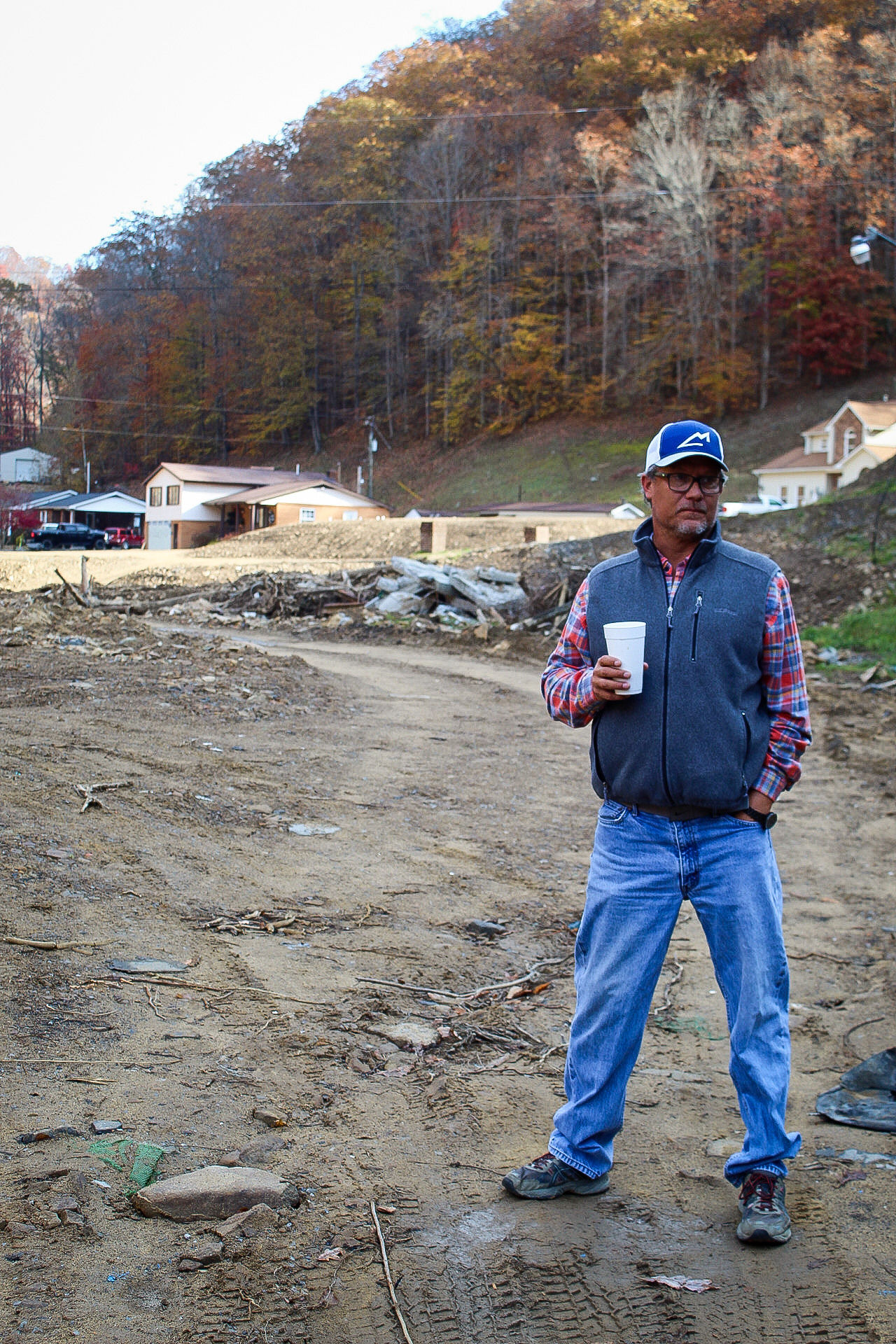
Chambers is a fan of the new system, however, because it involves a lot more than just warnings and alerts. He speaks highly of RISE and Merak Labs, the company that won the challenge to come up with solutions for his county.
Erin Rothman, chief scientist and co-founder of the company with her husband, has visited Buchanan County a couple of times as the plan was developed. She authored a 77-page report analyzing the county’s flash-flood risk and identifying ways the county can try to mitigate the damage from future storms.
The county’s steep, rugged terrain and narrow hollows and valleys “funnel rainfall into fast-moving torrents, increasing the risk of severe flooding with little to no warning. These pop-up storms, often localized and intense, can overwhelm natural drainage systems and infrastructure, creating dangerous conditions within minutes,” the report states.
It also notes that what’s left of the many coal mines that operated in the county over the decades — abandoned mines and weakened slopes surrounding those operations — exacerbate the flood risks. The water that has accumulated in old mines can contribute to blowouts, which can release large volumes of water and debris, and the weakened slopes and soil disturbances increase the likelihood of landslides, according to Rothman’s report.
The county’s population totals nearly 20,000. Most homes have been built in the hollows, which are high-risk areas near a stream or river, it states. The land is flat around streams and creeks because it’s been flooded, Rothman added.
One key area identified in the report that the county can work on is removing a high volume of debris left behind by previous storms. The level of trees, limbs, big rocks and other material in the rivers and streams means that it takes less water each time to flood, Chambers said.
“I’ve already made it clear to everybody that it took 7-1/2 inches of rain for the Guesses Fork flood, it took 4-1/2 inches of rain for Whitewood, and it took 3-1/2 inches for the last storm. For the next one, it’s going to take 2 inches. If we don’t get these big creeks, streams and rivers cleaned out, we’re just going to continue to flood,” he said.
He said the county is working with the Virginia Department of Emergency Management and the Federal Emergency Management Agency to start getting rid of the debris.
The Cumberland Plateau Planning District Commission, a partner in the project, is also using the report to write a grant for debris removal, Rothman said.
The study also pinpoints the six areas of the county most likely to flood: Deel, Pilgrim’s Knob, Heritage Hall, Grundy, Hurley and Guesses Fork.
Chambers said he’s been amazed at the depth of information that Merak has provided. In the past, he said, he had no good way to know what was going on in all parts of the county. With the information he’s now getting, he can see what’s happening “in every corner of the county.”
He can easily access a wealth of weather data from across the county on a dashboard on his computer or an app on his phone. When information provided through the sensors and rain meters reaches a certain point, he’ll get alerts on his cellphone and iPad.
Last week, for instance, he was able to see that it had rained 2 1/2 inches in the Breaks area, so he knew he should drive over and check it. He also said that Rothman can tell him how much less chance there would be of flooding if they removed a certain amount of debris.
“It’s just amazing what they can do,” he said.
Rothman is also able to monitor the weather in Buchanan County from her office in Pawleys Island, South Carolina, as she did on June 9, when the county was again under a flood warning from the National Weather Service. The county had rain that night, but no flooding. 
Making the best use of the new system is ‘a judgment call’
The information provided through the new warning system launched July 1 in Botetourt County will allow county officials to be more proactive to future floods, rather than reactive as they’ve been in the past, said Daniel Murray, the county’s emergency manager.
At the recent launch event, emergency management professionals, first responders and planners from across the region were invited to see the system in action and provide feedback.
Like Buchanan County, Botetourt County has mountainous terrain, and it has experienced flash flooding that can occur within minutes. Although the flooding has not recently been on the scale experienced in Buchanan County, there’s potential for it, Murray said. The most recent occurred in the Grove Hill area about a month ago, when Caldwell Mountain had 4 inches of rain over two hours. About eight houses were affected, he said.
The last catastrophic flooding in the county was the big flood of 1985, which local officials in far Southwest Virginia also talk about. Mitigation steps taken after that event have lessened the impact from storms that came afterward, according to Murray. He added that most of the problems with high water come from streams and tributaries rather than the James River.
The real-time flood warning system was built by FloodMapp, a flood intelligence technology company based in Australia; Green Stream Technologies, a real-time flood monitoring company in North Carolina; and The Warn Room, which focuses on emergency alerts and warnings.
It combines live sensor data, predictive modeling and human-centered alerts, giving residents and emergency managers more lead time and situational awareness they need to act, according to RISE.
As part of the project, 12 ultrasonic river sensors from Green Stream were placed around the county. The same sensors were used in Buchanan County.
“They basically shoot an ultrasonic pulse, kind of like a sonar … pulse from the top of the bridge down to the water level and they pre-calibrate them to be able to measure the distance between that sensor and the water level, and of course the less distance the higher the water is going to be,” he explained.
The measurements are taken every 15 minutes, he added.
The other half of the project is flood engineering software provided through FloodMapp. The company has flood engineers who take the data from the sensors and merge it with forecast data from the National Weather Service, Murray said.
“That’s what gives us what’s called a flood inundation map and so basically that allows us to click some buttons on the screen on our GIS [Geographic Information System] and it will show us an approximation of how wide the river will get and how deep it will get,” he said.
Murray emphasized that the program has cost taxpayers nothing. It will be provided free until July 1, 2026, and the county is already starting the process of finding grant funding to pay for it after that, he said.
The county also wants to put up more sensors and get some rain gauges, he added.
Both Buchanan and Botetourt counties have public warning systems through a company called Everbridge. Local residents can sign up and be alerted through their cellphones.
But like Chambers, Murray said county officials have to be careful about sending out the public alerts.
“It’s a judgment call,” he said. “The biggest thing is we don’t want to cry wolf. If we send out too many of those things, people just disregard.”
