


Virginia has inhaled a breath of fresh air to start August after an icky, sticky July.
High pressure over the northwest and northeast corners of the U.S. has helped force cooler air southward over much of the eastern U.S., trapping it against the Appalachian Mountains even as it has started to become overrun by warm, moist air aloft.
Friday through Tuesday was the first time in Roanoke’s history of officially recorded weather data, going back to 1912, that each of the first five days of August had high temperatures below 80 degrees. The last time it got close to doing that was 1985 when the first five days of August had highs of 76, 80, 79, 79, and 79 in the Star City.
Danville squeaked out 81-degree highs on Friday and Monday, but the average high temperature of 77.4 Friday through Tuesday is the first time Danville has averaged below 80 degrees for high temperatures in the first five days of August going all the way back to the start of its official weather data in 1917.
Most locations across Cardinal News’ Southwest and Southside Virginia coverage area dipped into the 50s for lows on Monday morning, the coolest it has been at most spots since the first few days of June. The coolest lows in our region were 52 at Stony Fork in Wythe County, Hot Springs in Bath County, and the regional icebox, Burke’s Garden in Tazewell County. It dropped to 53 at Blacksburg and 54 at both Brookneal in Campbell County and Wytheville. 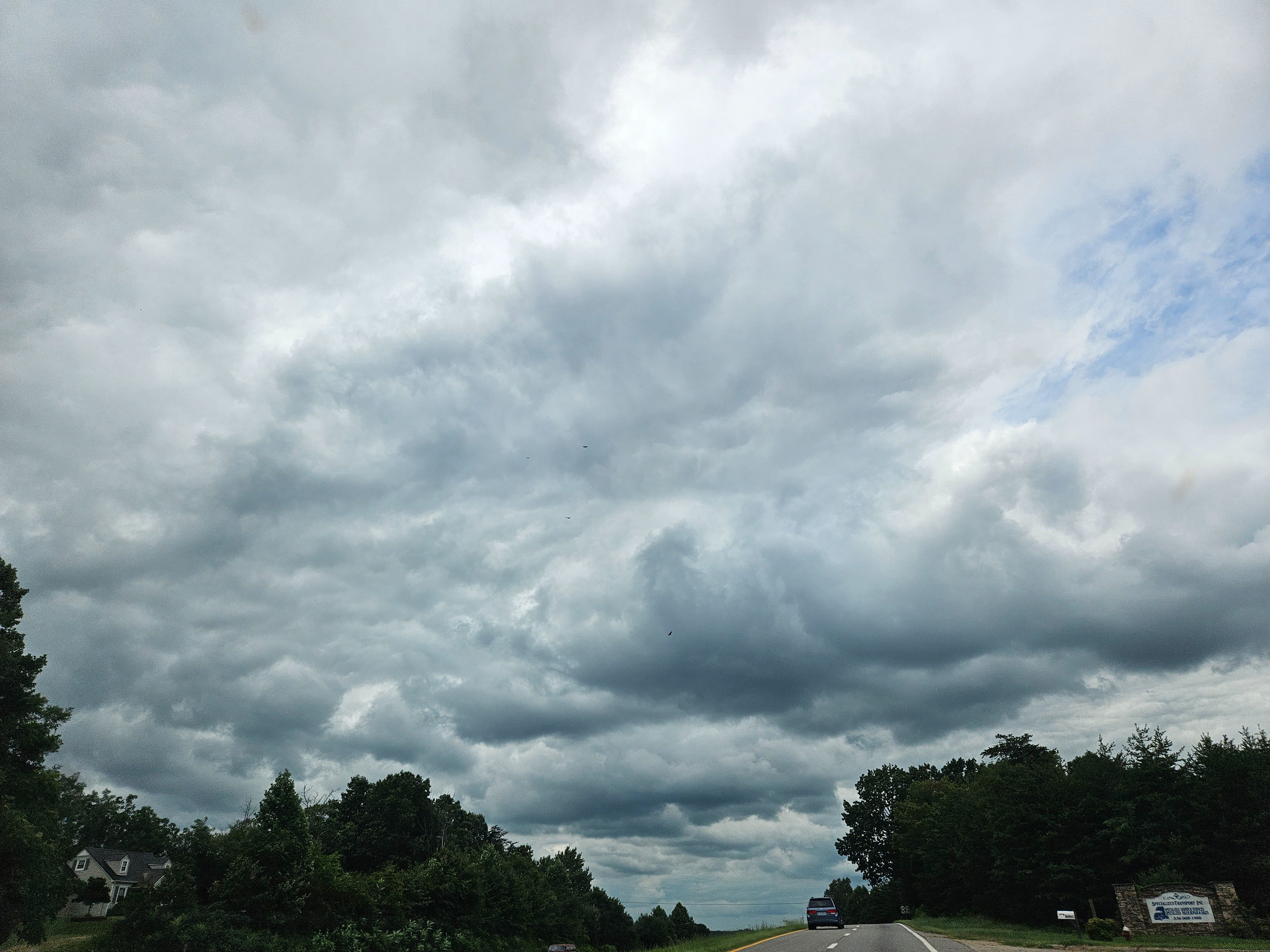
While the relatively cool days are continuing this week, we are not seeing the cool autumn-suggestive nights/mornings anymore, because enough moisture for 60s dew points has returned and that is buoying the overnight lows in the 60s. But cloudier days with increased chances of showers the remainder of this week, the result of moisture overrunning the cool wedge of air forced southward against the mountains, a pattern more familiar in our winters rather than mid-summer, will keep daytime temperatures mostly below 80 degrees.
The rainier pattern is also influenced by an offshore trough of low pressure east of the Carolinas that may have some potential to develop into a tropical cyclone. An uptick of potential Atlantic tropical activity as we move more into the meat of hurricane season later this month is of some concern — see the last section of today’s Cardinal Weather column. 
Summer nights
This cooler break does not negate the sticky month that preceded it.
This past month was Martinsville’s warmest July on record, based on official data that goes back 85 years, and it was a top 10 warmest July on record at Blacksburg, Roanoke and Burke’s Garden — each with over 100 years of data — and almost a top 10 warmest, rating 11th, at Lynchburg with 133 years of data.
Additionally, it ranked as the fourth warmest July in 56 years of records at Abingdon, fifth warmest July in 88 years of data at the Tri-Cities Airport in Tennessee near Bristol, 12th warmest July in 94 years at Wytheville, and 17th warmest July in 76 years at the John H. Kerr Dam in Mecklenburg County, which often records the hottest daily temperature in Southwest and Southside Virginia.
There is a subtlety here why I chose to write “warmest” instead of “hottest” when discussing how July ranked. That’s because the high averages were driven primarily by warm overnight lows, not by extraordinarily hot afternoon highs.
The average temperature for July is the mean between each day’s high and low temperature, added up and divided by 31. So wherever the temperature bottoms out, usually happening near sunrise, is as important in determining a monthly average temperature as what the mercury climbs to in the afternoon.
For instance, Martinsville’s warmest all-time July average of 78.9 degrees was driven primarily by the month having its warmest daily average low temperature on record, at 68.3 degrees. Martinsville’s high temperatures in July averaged 89.5 degrees, which ranked 16th hottest, respectably above historic norms but not really extreme.
Similarly, Lynchburg, Roanoke, and Danville each saw July post the fourth warmest average daily low temperatures on record — 69.4, 70.3, and 70.8 respectively — while average daily high temperatures in July were much farther back in the pack ranking 28th at Lynchburg (89.2), 33rd at Roanoke (89.2) and 44th at Danville (90.0).
The John H. Kerr Dam also recorded its warmest average July low temperatures on record, at 74.9 degrees. The daily high temperature averaged 91.7 or 20th hottest on record. But the temperature never got above 96 at the dam, the coolest maximum temperature for the month of July recorded there since 2009, which was a notably cool summer across our region.
With so many regional locations to consider, finding an exception to the rule is almost inevitable, and that exception is Wytheville, where the high temperatures ranked higher historically than the low temperatures, with an average July high temperature of 85.7 that ranked 16th and an average low temperature of 61.4 that was tied for 24th. 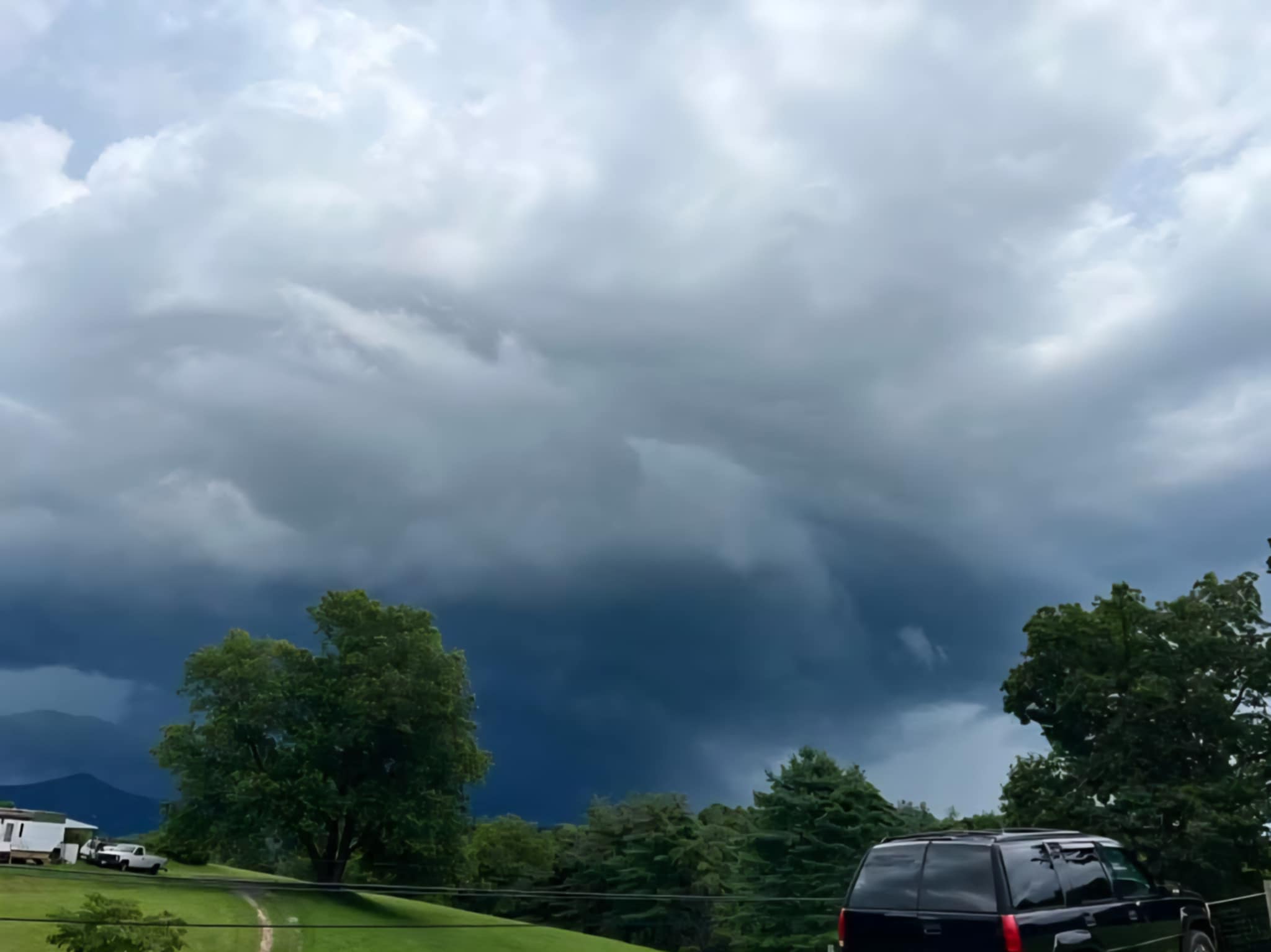
The sticky nights of July go back to our discussion last week about the importance of high dew points, indicative of thick moisture in the air, and how the presence of those tends to buoy overnight low temperatures at a warmer level than on nights with drier air when evaporative cooling and often radiational cooling enable temperatures to drop farther.
Moist air both warms and cools more slowly than drier air. As a result, when the dew points are high and it feels humid outside, not only do low temperatures not drop as far as might otherwise be expected, but high temperatures often come up short of more extreme readings. This is part of why, surprisingly to many, Tampa, Florida, recently recorded its first official 100-degree high temperature on record — coastal Florida is often in the 90s with sticky dew points, but it’s hard to warm that extremely moist air to the 100-degree mark.
Factors both short-term to this summer and long-term to observed global climate change have contributed to what has been the highest average July dew points on record for several states in the central and eastern U.S., including Virginia.
It remains to be seen how hot the temperature will get again this month — 80s to near 90 are likely to return by next week — but icky stickiness appears very likely to rebuild in days and weeks ahead, possibly influenced by the tropical Atlantic. 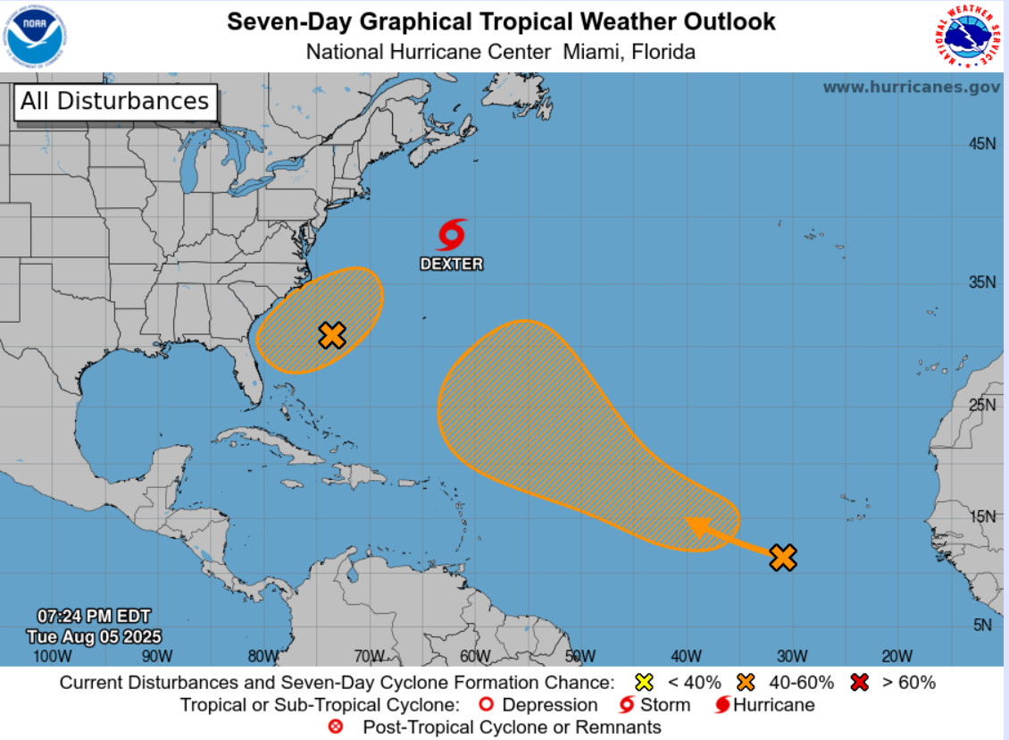
Tropical trouble?
The Atlantic basin presently has three areas of interest for tropical cyclone development.
· Tropical Storm Dexter, rapidly plying east-northeastward in the open Atlantic away from the U.S.
· A trough in the western Atlantic off the coast of the Carolinas that has some potential to develop.
· A disturbance much farther out in the Atlantic that may develop into a tropical cyclone as it moves northwest into the central Atlantic.
As of now, there is no urgent threat for the coast of the United States. Some forecast model runs have shown an approaching hurricane in the 10- to 16-day range, which is too far out for anything resembling specific forecasting, definitely not to the level screamed out by some social media sites.
But considering we are moving into the core of Atlantic hurricane season from mid-August to mid-October, it is time to be aware of tropical potential, especially if you have any coastal travel plans. The National Hurricane Center website linked here is the best place to keep abreast of current and near-future tropical cyclone threats.
Journalist Kevin Myatt has been writing about weather for 20 years. His weekly column, appearing on Wednesdays, is sponsored by Oakey’s, a family-run, locally-owned funeral home with locations throughout the Roanoke Valley. Sign up for his weekly newsletter:
